This resource was originally published on the CartONG website in 2014. It was transferred to the IM Resource Portal in May 2021.
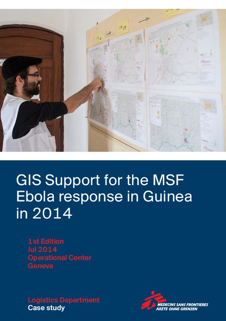
MSF-CH has published a case study on the deployment of a GIS officer to Guinea, in response to the Ebola outbreak in March 2014.
CartONG has been supporting MSF-CH since 2013 on the definition of a GIS strategy and creation of a Map Centre. This collaboration was extended for the first time with the secondment of a GIS officer within MSF's teams in Guinea. In support of the epidemiological team, the GIS officer was charged with producing general overview maps, as well as topical maps that supported different aspects of the operation. During the eight weeks of his mission, the GIS officer produced 109 maps for this previously very poorly mapped area. The maps included basic orientation maps that showed roads, landmarks and villages but also specialized maps that visualized population density or the spread of the disease.
Both field and headquarters staff interviewed for this case study emphasized that having a dedicated GIS officer in the field was a major asset that had a significant positive impact on the operation. Universally, interviewees identified two outputs as the most useful:
- Localization: With the help of a newly created database and subsequently produced maps, the GIS officer was able to pinpoint the exact location of villages and identify villages that had the same name but were in different parts of the prefecture. Based on this information, MSF program staff were able to respond to the outbreak faster, in a more targeted way and with fewer resources.
- Visualization: A weekly mapping of confirmed and suspected Ebola cases helped translate the progression of the epidemic from technical data into an easy-to-grasp map. As a result, staff at all levels had a better understanding of the emergency.
For more information on this topic, please check out this resource published in 2015 by MSF.