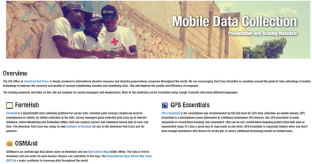
The GIS office at American Red Cross is deeply involved in international disaster response and disaster preparedness programs throughout the world. We are encouraging Red Cross Societies in countries around the globe to take advantage of mobile technology to improve the accuracy and quality of surveys establishing baseline and monitoring data. This will improve the quality and efficiency of programs.
The training materials and links are targeted for survey managers and enumerators. Check out here!
