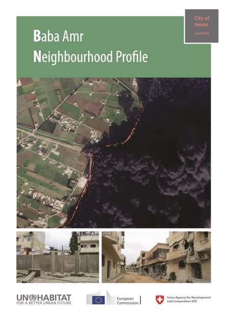
Baba Amr is one of Homs's largest neighbourhoods in terms of area (280 ha) and population (55,000 inhabitants according to 2010 estimates). The neighbourhood grew from a small village west of the city overlooking the Orontes River and valley, and was later "absorbed" by city growth, and expanded to merge with the city western side. Population of the expanded village gradually abandoned their agricultural economy, and spurred the initiation of a new market at the heart of the upper-income western residential neighbourhoods. The market started a new supply route to the city, attaching it to the large agricultural plains that extends on Orontes River basin down to Qusair region, and later; the market expanded to include various industries and businesses, mixed with sprawls of medium density informal housing that also attracted a segment of Homs population seeking low- cost housing.
Although the neighbourhood mushroomed informally, it enjoyed acceptable degree of organized urban form. In 2005, the City Council adopted a resolution to formalize the neighbourhood, and later on in 2008, the city finally overcame all property and legal issues and declared all properties in the neighbourhood formal. In addition, the local authorities used all available unoccupied space to provide the neighbourhood with services and facilities, including schools, clinics, wholesale market (unfinished), and asphalt to all secondary road. The market that dominated the main street crosscutting the neighbourhood started to expand into the secondary streets, and the neighbourhood became a destination for trades and commerce that attracted western city consumers, who enjoyed the location of the market in between residential neighbourhoods and feasibly enabled them to avoid accessing the crowded City Centre.
Resource collections
- Topics
- UN Habitat - Urban Response Collection
- Urban Response - Urban Crisis Preparedness and Risk Reduction
- Urban Response Collection - Community Engagement and Social Cohesion
- Urban Response Collection - Economic Recovery
- Urban Response Collection - Environment and Climate Change
- Urban Response Collection - Housing, Land and Property
- Urban Response Collection - Urban Crisis Response, Recovery and Reconstruction
- Urban Response Collection - Urban Resilience