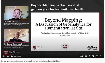
Geography plays a critical role in our understanding of humanitarian crises. Maps inform logistics, optimize supply lines, help characterize the need for shelter and health infrastructure, and so much more. However, spatial data in humanitarian health is often portrayed in simple thematic format and neglects the power of spatial analysis to provide a more sophisticated and rigorous understanding of the stochastic variables that influence health and could optimize health programming in humanitarian settings .
As experts in humanitarian health and geospatial analysis, Erica Nelson and Gregg Greenough discuss how advanced analytical geospatial techniques can extract unseen information that could elevate programmatic planning and humanitarian health interventions. This webinar is the third of four in the Humanitarian Spatial Technologies Webinar Series.