Final Assessment Report

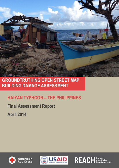
At 10:00 on 6 November 2013, Typhoon Haiyan (named Yolanda locally) entered the Philippines Area of Responsibility (PAR), bringing with it severe damage across the Central Philippines. As of 17 December, the Philippines Disaster Response Operations Monitoring and Information Centre (DROMIC) had reported 1,127,041 houses as having been damaged, of which 548,793 were totally destroyed by the typhoon. These figures were largely estimates, however, based on initial information provided by municipal officials. Given the scale of the damage and the wide geographic scope, accurate damage figures were greatly sought after in the days following the typhoon to facilitate response area prioritization. In the initial days of the response, the Humanitarian OpenStreetMap Team (HOT OSM) rapidly mapped the base infrastructure (roads, buildings, populated places, etc.) in the typhoon-affected area. In response to the need for more accurate damage figures, the American Red Cross (ARC) mobilized HOT OSM and their volunteer network to build on this base data and crowd-source remote damage assessments based on post-disaster satellite imagery. This was conducted in parallel with the Shelter Cluster Rapid Needs Assessment being implemented by REACH to provide information on damage and needs at the household level. To gauge the accuracy of the crowd-sourced damage assessments, REACH and ARC conducted a study comparing enumerated field damage assessments with the remote damage assessments conducted by the OSM community. The assessment found an overall accuracy rate of 36 per cent with general underrepresentation of damage when compared with field assessment data. A key outlier in these results was Tacloban City which was the main contributor to a 134 per cent overrepresentation of completely damaged buildings assessment-wide. This assessment found that current satellite imagery does not allow for the detailed analysis required for damage assessments in humanitarian contexts. The current OSM platform also does not currently minimise these imagery limitations through its coordination or management processes, leaving room for improvements in the analysis methods used while the satellite imagery technology advances. The conclusions and recommendations are intended to inform contributors and developers of crowd-sourcing platforms, as well as the humanitarian community at large, contributing to a dialogue about the ways to capitalize on the current methods and improve the way in which they are used in humanitarian settings. The results of this research will be shared with a wide range of stakeholders through the publication of this report as well as presentations at conferences. This research was conducted as a collaborative endeavour of REACH and ARC and financially supported by the United States Office for Foreign Disaster Assistance (OFDA).
Resource collections
- Innovation
- Topics
- UN Habitat - Urban Response Collection
- Urban Response - Urban Crisis Preparedness and Risk Reduction
- Urban Response Collection - Community Engagement and Social Cohesion
- Urban Response Collection - Economic Recovery
- Urban Response Collection - Environment and Climate Change
- Urban Response Collection - Housing, Land and Property
- Urban Response Collection - Urban Crisis Response, Recovery and Reconstruction
- Urban Response Collection - Urban Resilience
