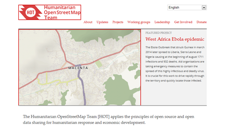
Free, collaborative maps are uniquely valuable to humanitarian work, especially in places where base map data is often scarce, out of date, or rapidly changing. OpenStreetMap is a project to create a free and open map of the entire world, built entirely by volunteers surveying with GPS, digitizing aerial imagery, and collecting and liberating existing public sources of geographic data. The information in OpenStreetMap can fill in the gaps in base map data to assist in responses to disasters and crisis.
Links
Resource collections
- Accountability to affected populations (AAP)
- ALNAP focus topics
- Evaluating humanitarian action
- Innovation
- Monitoring and Evaluation (M&E)
- Monitoring of humanitarian action
- UN Habitat - Urban Response Collection
- Urban Response - Urban Crisis Preparedness and Risk Reduction
- Urban Response Collection - Community Engagement and Social Cohesion
- Urban Response Collection - Economic Recovery
- Urban Response Collection - Environment and Climate Change
- Urban Response Collection - Housing, Land and Property
- Urban Response Collection - Urban Crisis Response, Recovery and Reconstruction
- Urban Response Collection - Urban Resilience
- Use of evaluation evidence