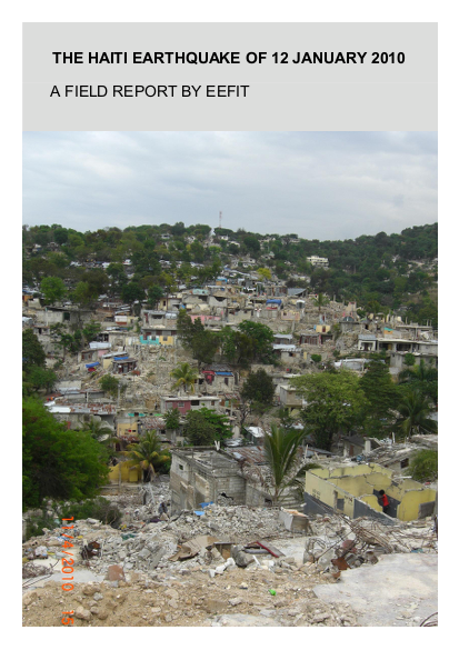
The Haiti earthquake of 12th January 2010 was one of the most devastating in terms of human impact in recorded history. A shallow event of moment magnitude Mw = 7 centred near the capital of Haiti, Port-au-Prince, it caused at least 150,000 deaths, and rendered many more homeless; 15 months after the earthquake, 1.5 million people were still living in tented communities.
A small EEFIT team consisting of a structural engineer, a geotechnical engineer and a remote sensing specialist visited Port-au-Prince three months after the earthquake, staying for a week. Its objectives were much more limited than for most previous EEFIT missions, with the focus on comparing damage assessments made from remote images (i.e. photos taken from planes or satellites) with assessments made from the ground. This was in the context of an unprecedented use having been made of remote images to assist the vital task of assessing Haiti’s enormous need for post-disaster aid and reconstruction. The EEFIT team made ground assessments of the damage to 142 buildings in Port-au-Prince; damage ratings were also available for all these buildings from both from high resolution vertical images in the GEO-CAN II international exercise, and from the more accurate technique of using oblique angle (Pictometry) images. It was found that the number of buildings assigned by remote assessment as partially or totally collapsed was a factor of 1.5 to 2 times lower than the EEFIT ground assessments. Although the sample size was too small for statistical significance, this was the first exercise in which ground and remote assessments of damage have been compared in detail. It enabled the circumstances in which remote assessments both under- and over- estimated damage to be examined in detail, and will assist the process of improving the accuracy of future remote assessments.
Links
Resource collections
- Earthquakes
- Learning from crises
- UN Habitat - Urban Response Collection
- Urban Response - Urban Crisis Preparedness and Risk Reduction
- Urban Response Collection - Community Engagement and Social Cohesion
- Urban Response Collection - Economic Recovery
- Urban Response Collection - Environment and Climate Change
- Urban Response Collection - Housing, Land and Property
- Urban Response Collection - Urban Crisis Response, Recovery and Reconstruction
- Urban Response Collection - Urban Resilience