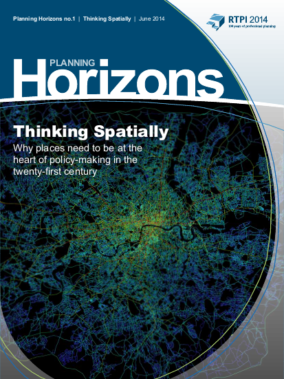
It has been suggested that 60-80 per cent of data now includes a locational component – that is, data that is tied to place in some way.2 Since the late 1970s, Geographic Information Systems (GIS) have been used by planners, engineers, geologists and others for spatial analysis. Researchers are using this data to generate new insights into how the nature of places affects people and communities, and businesses are increasingly seeking to harness geolocation to analyse customers and trends. In many countries, community groups and campaigners are also focusing on places, for example how economies can be re-localised and public spaces protected. Much policy, however, particularly at a national level, still lacks an integrated understanding of place and space, and this lack of spatial thinking is harming communities, causing ill-health, undermining growth and development, and destabilising the environment.