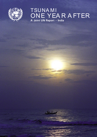
At 6:58 a.m. on December 26, 2004, a massive earthquake of magnitude 9.0 on the Richter scale hit Indonesia off the West Coast of Northern Sumatra. At 9:51 a.m. (IST) the same day, another earthquake of magnitude 7.3 on the Richter scale occurred 81km west of Pulo Kunji (Great Nicobar, India). The high intensity earthquakes set off giant tsunamis between 3 and 10 meters high, travelling 2,000km across the Indian Ocean, the Bay of Bengal and beyond. In the Indian sub continent, the Andaman & Nicobar Islands were the first to be hit, causing extensive damage. The tsunami then spread along a narrow strip of land on India’s east coast and Sri Lanka’s low-lying portions and to a lesser degree India’s west coast. Tidal waves hit the coastal districts of Andhra Pradesh, Kerala, Tamil Nadu and the Union Territory of Pondicherry around 9:50 a.m. and penetrated up to 300 meters to 3km into the mainland, causing damage to lives and property. The tsunami affected a total of 2,260km of India’s coastline besides the entire group of Nicobar Islands.